By James M. Arnold, Weather Specialist
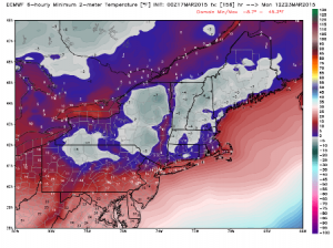
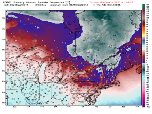
Region – We have two shots of arctic air coming within the next week, the first arriving this afternoon and the second one late Sunday, which will be a bit colder than the first. Compared to averages, these will rival anything we have seen so far this season. When the coldest air is over central Massachusetts, temperatures will be around 20 to 25 degrees colder than long term averages and model guidance is looking at near 0F values Thursday morning and slightly below 0F next Monday morning. We will not be breaking into anything resembling an extended period of springlike warmth anytime soon.
Storm development across the southern tier of states is likely, with the disturbance eventually exiting off the southeast coast near the Virginia Capes on Friday. From there, it will then move off to the northeast and up the coast impacting southern New England late Friday night into Saturday. This needs to be watched very carefully as the potential for a significant wet, heavy snowfall is there. Along the coast, the Cape and Islands, precipitation is more likely to be a wintry mix or plain rain, but the combination of very high astronomical tides (related to the equinox) and a strong northeasterly wind would result in at least some coastal flooding and even more beach erosion in addition to what has occurred so far this season.
James M. Arnold is a Weather Specialist working with Shrewsbury Emergency Management Agency; town of Princeton; Worcester Emergency Communications and Emergency Management Agency; Southborough Emergency Management Agency; town of Grafton and Wachusett Mountain Ski Area


