


REGION – The National Weather Service released updated snowfall measurements for a handful of area towns on Sunday morning after this weekend’s nor’easter.
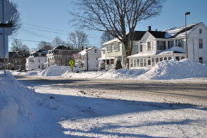
Westborough leads the way, according to that data, with a final measurement from 9:55p.m. on Saturday night showing 17.7 inches of accumulation.
Hudson picked up 17.1 inches in its final reading, which was timestamped at 8:50 p.m.
Grafton, meanwhile, clocked in at 16 inches of snow at 7 p.m.
The National Weather Service compiles these snow reports from sources across the state.
“Thank you to all that submitted reports, it’s greatly appreciated,” it noted in a tweet on Saturday night.
The NWS notes that not all snowfall totals are considered official.
Experts have further noted that some snow measurements may be difficult following this storm due to the amount of blowing and drifting prompted by high winds.
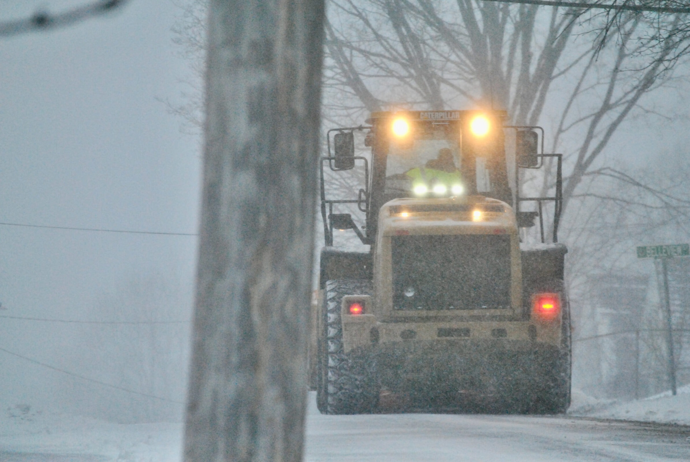
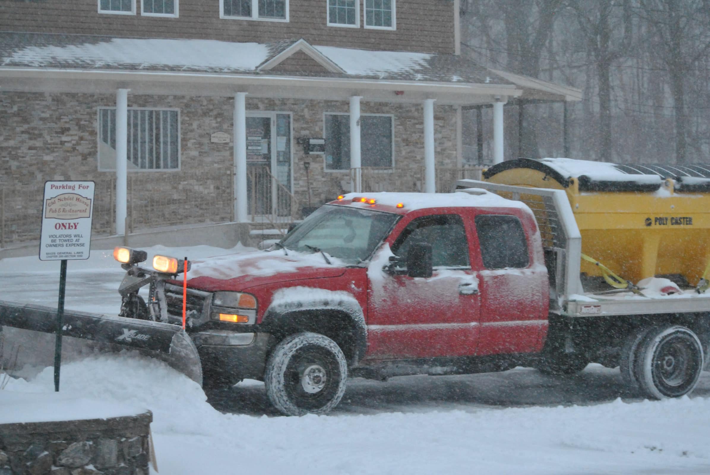
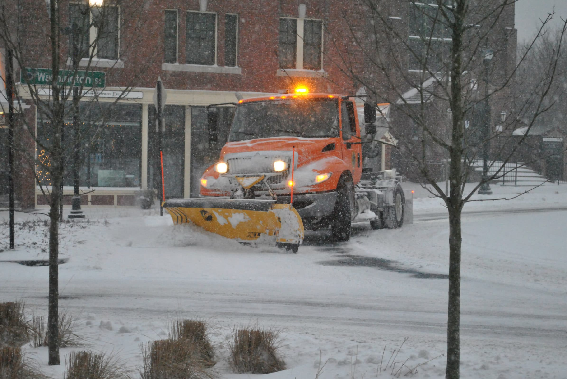

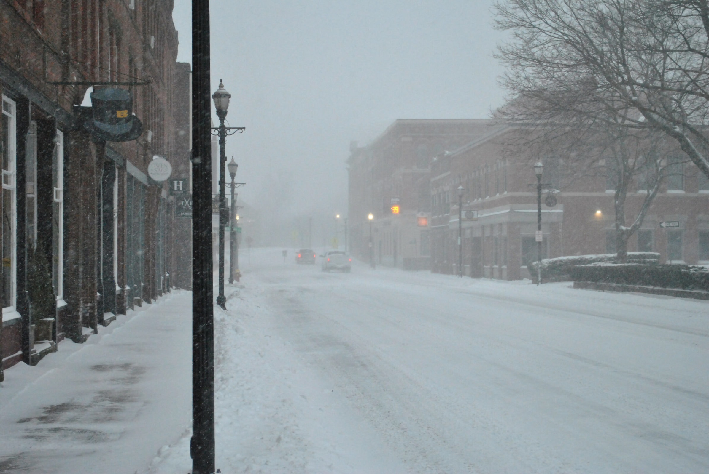
Snow rolled in overnight between Friday and Saturday. It then lingered throughout the day on Saturday.
Though the storm spared the region from the worst of its snowfall, it it packed a punch, with high winds at times whipping up snowdrifts and creating white-out conditions.
“[There is] extremely limited visibility with hazardous driving conditions,” the Westborough Police Department wrote in a social media post on Saturday morning as the storm still raged. “We thank our community for staying off of the roadways.”
RELATED CONTENT
Snow blankets region as major nor’easter arrives
Experts expand warnings ahead of weekend nor’easter


