


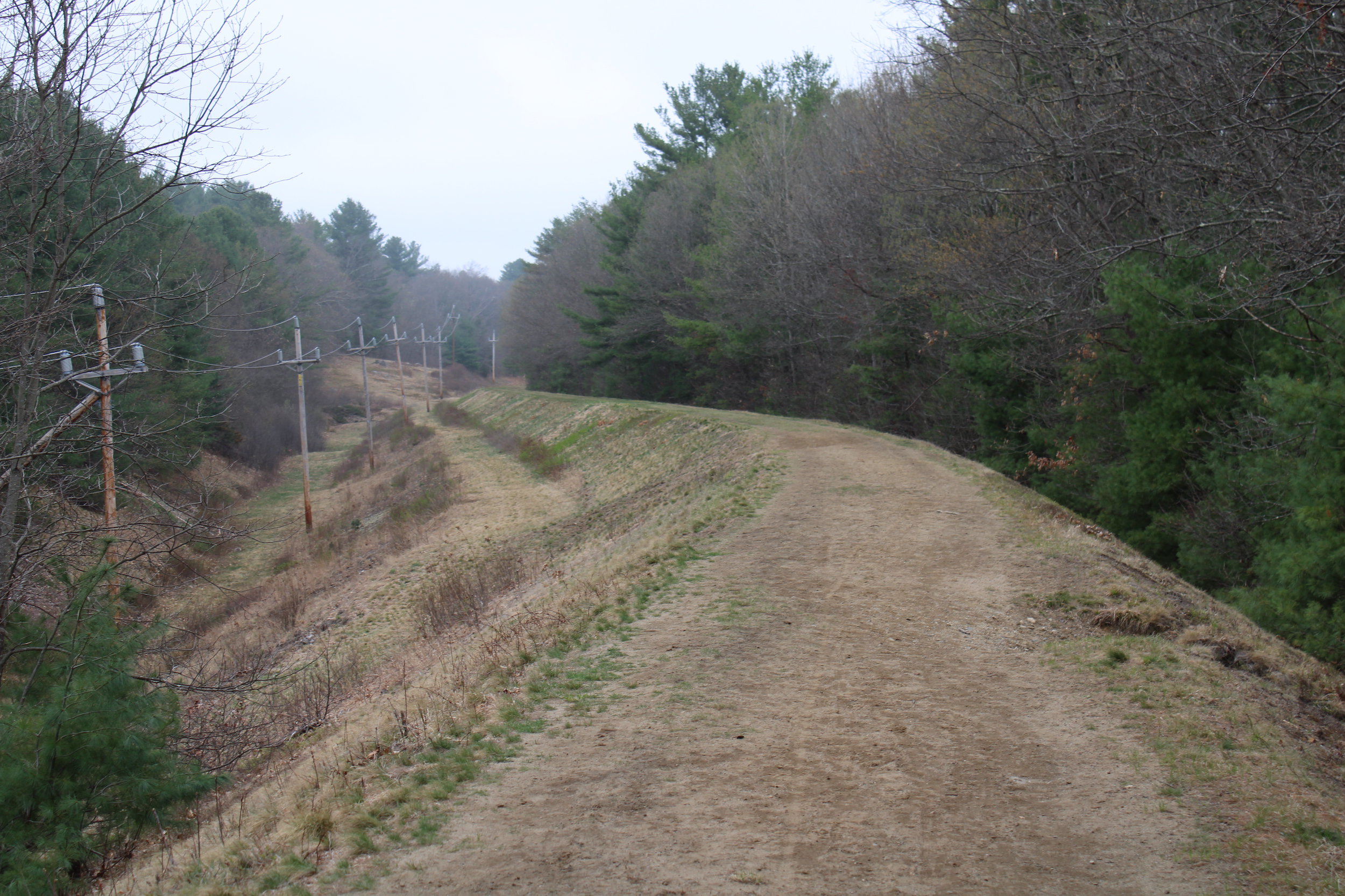
NORTHBOROUGH – You have probably seen the Wachusett Aqueduct many times: the iconic bridge over the Assabet River and the grassy path that traverses woods, neighborhoods, and areas you wouldn’t necessarily visit.
Hiking the 4.5-mile length in Northborough brings history to life in delightful, intriguing, and peaceful ways―illuminating an historic, cultural, and recreational resource that is easy to take for granted.
The Wachusett Aqueduct travels for 12 miles from the Wachusett Reservoir in Clinton and terminates at the Sudbury Reservoir in Southborough, built to bring water to Metropolitan Boston. Construction commenced in spring of 1896 and the aqueduct officially opened in 1905. It took the manual labor of 2,001 men from around the world and 967 horses and was constructed by pick and shovel with some steam power to perform rock crushing operations.
In 1967, the aqueduct was largely discontinued but it is maintained for backup purposes. Public access has been permitted in Northborough since 2013 thanks to the Massachusetts Water Resources Authority (MWRA) issuing a public access permit.
As soon as you step on the grassy, raised earth above the aqueduct, quirky anomalies come into view. Near Berlin, large boulders are toppled on the adjacent hillsides―not a natural feature but rather evidence of ledge that was removed from the aqueduct’s path to make way for the tunnel, a grand 12 feet wide.
Here, the aqueduct feels timeless. Eleven feet below the footpath, numerous culverts are visible that allow water to pass under the aqueduct and adjacent train tracks. Historic photos confirm that the rocks installed in the culvert in the 1890s are still there today. You can see the rocks, some identified by their unique shape, in the same position they were set more than a hundred years ago.
Starting the traverse near the town line in Berlin, the first big landmarks are crossing Whitney Street (under which the aqueduct travels) and walking under the Interstate 290 bridges after a remote stretch where you can barely discern private homes through the surrounding woods. Then, along Colburn Street, a large stone foundation is visible, which provides a glimpse to where there was a 120-acre farm (owned by the Sparrow/Hilliard family) where National Grid is currently.
You must exit the aqueduct at Hudson Street to cross the street, as the aqueduct bridge is not publicly accessible. However, a movement is underway to restore the bridge path and open it to pedestrians, thanks to the Northborough Trails Committee in collaboration with MWRA.
Near the end of the hike, Bartlett Pond presents calming views, and if you look closely in the woods, you can see remnants of a stone pump house that Daniel Wesson, co-founder of Smith & Wesson firearms, built to bring water to his White Cliffs mansion. Continuing further along Bartlett Street, undeveloped land to the north holds further treasures from the past, including a stone barn foundation from what was Mills Farm. The walk ends at the Cedar Hill property in Marlborough, where the aqueduct becomes an open channel.


